Dingo's Beach, 32 Meter
          
Talort:
Albany
Höhe Talort:
84 Meter
Höhenunterschied:
-52
Meter
Start Richtungen:
Seilbahn:
Nein
Streckenflug:
Ja
Soaring:
Keine Angabe
Windenschlepp:
Nein
Walk and Fly:
Nein
Ski and Fly:
Nein
Drachen:
Keine Angabe
UL:
Keine Angabe
Google Maps:
Qualität Fluggebiet:
Qualität dieser Seite:
Statistik:
Adoption (User):
-
Zuletzt bearbeitet:
13.12.2005
If the wind is not permitting starting at Shelley's, one should try this place, it lies somewhat further below the cliff. Crazy thermals, crazy white beach, great for tourists.
This site resembles the flight zone at Shelley's , however the cliff here protects the Paraglider and also guarantees very good thermals.
Bewertung der Fluggebiets- und der Seitenqualität
Flug
The start place lies approx in the first third of the ascent to the tip.
Often flying in the western direction will cause you to fly diagonally. For here the mountains stand closer and enabling this effect. In a strong wind you are guarenteed a start at this site.
Top landings are not recommended, for everyone when there is a strong wind! Better try the beach variant...
Wissenswertes
Anfahrt:
Follow the Lower Denmark Road left in the direction of Cosy Corner in Albany. After the Torbay Hotel turn right and then take the first left onto a Gravel Road. Follow this road until the end and then a sand road continues on until the beach. Only drive here with 4-Wheel drive unless you wish to encounter problems! Its better to walk the 20mins by foot!
Sonstiges:
Albany is 400km south of Perth. It is a large coastal region, with all wind directions. It known as the best flying location in Western Australia if want to spend a couple of crazy hours in the air.
|
Startplätze
|
Landeplätze
Landeplatz:
Dingo's Beach
Schwierigkeit:
sehr leicht
Höhe über NN:
0
|
Download: Google Earth Dateien für Fluggebiet und Flugdaten (IGC, OLC)
Download: Google Earth Dateien (KML-Format), Flugdaten (IGC Format)
Die letzten 3 Flüge
Leider keine OLC Daten vorhanden.
Flugdaten von www.paraglidingforum.com
Leider keine OLC Daten von www.paraglidingforum.com vorhanden.
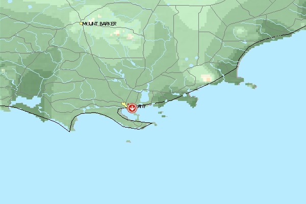
Umgebungskarte
  Fluggebiet  Flugschule  Aktuelle Position | Orte in der Nähe
Albany (2 km)
Green Island (6 km)
Cuthbert (8 km)
Seal Island (10 km)
King River (11 km)
Green Island (11 km)
Albany Aerodrome (12 km)
Grasmere (13 km)
Grassmere (13 km)
Stony Island (14 km)
Michaelmas Island (15 km)
Elleker (15 km)
Torbay Junction (15 km)
Breaksea Island (15 km)
Marbellup (16 km)
|
Fluggebiete in der Nähe (Radius: 50 km)
Australien / Ozeanien » Australien » Western Australia
Entfernung:
0 km
Höhenuntersch.:
-64
Meter
Ort:
Albany
Streckenflug:
Ja
Startplatz:
mittel
Landeplatz:
schwer
Start Richtungen:
In the heart of Albany you will get a great view of the site from the starting place Circumstance guarantees one orderly and quiet flight with a crazy look over the harbor, the city and Fort Adelaide.
Australien / Ozeanien » Australien » Western Australia
Entfernung:
0 km
Höhenuntersch.:
0
Meter
Ort:
Albany
Streckenflug:
Ja
Startplatz:
mittel
Landeplatz:
schwer
Start Richtungen:
Large site with over 10km long, strong falling away Front with no possibilities to land below, as the slope ends directly in the ocean.
Australien / Ozeanien » Australien » Western Australia
Entfernung:
0 km
Höhenuntersch.:
-59
Meter
Ort:
Albany
Streckenflug:
Nein
Startplatz:
sehr leicht
Landeplatz:
sehr leicht
Start Richtungen:
One of Western Australia's quietest and steadiest flight zones. Suited well for the beginner, for it always offers landing possibilities below on the beach.
The slight height of the dunes enables you to fly even in stong wind conditions.
Flugschulen in der Nähe (Radius: 50 km)
Australien / Ozeanien » Australien » Western Australia
Jeder ist willkommen, der ein mutiger Paraglider oder Drachenflieger werden will. Alles weitere auf Anfrage!
Alle Fluggebiete und Flugschulen in der Nähe anzeigen
|