Noondeening Hill, 150 Meter
          
Talort:
Perth
Höhe Talort:
32 Meter
Höhenunterschied:
108
Meter
Start Richtungen:
Seilbahn:
Nein
Streckenflug:
Ja
Soaring:
Keine Angabe
Windenschlepp:
Nein
Walk and Fly:
Nein
Ski and Fly:
Nein
Drachen:
Keine Angabe
UL:
Keine Angabe
Google Maps:
Qualität Fluggebiet:
Qualität dieser Seite:
Statistik:
Adoption (User):
-
Zuletzt bearbeitet:
06.01.2006
You will find this site exaclty NE between Toodyay and Northam in the Avon Valley. This site is not particularly east to fly from due to the trees and the fast changing thermic conditions. The site is owned by farm owners Bruce and Carolyn, who gladly support the sport.
Site Closed 2003 (As of June 2004)
Bewertung der Fluggebiets- und der Seitenqualität
Flug
The site has unambiguous potential however has become a suddenly dangerous flight zone. For the beginner please only fly in the company on an experience pilot here!
When starting it is easy to mistake reading the wind direction correctly as the conditions do not appear as they seem, however you can easily change to the starting place of another mountain. The NE wind is strong until 10 o'clock in the mornings, after that you will normally find a light changing breeze here.
Wissenswertes
Anfahrt:
The Hill Flyers Club will be happy to provide you with any information required regarding this site.
Sonstiges:
In this area is apporx. 1 hour removed from Perth, you will find numerous flight zones with all wind variations in the area suitable for the beginner.
Startplätze
Startplatz:
Noondeening Hill
Startrichtung:

NO Schwierigkeit:
schwer
Höhe über NN:
140
|
Landeplätze
Landeplatz:
Noondeening Hill
Schwierigkeit:
leicht
Höhe über NN:
0
|
Download: Google Earth Dateien für Fluggebiet und Flugdaten (IGC, OLC)
Download: Google Earth Dateien (KML-Format), Flugdaten (IGC Format)
Die letzten 3 Flüge
Leider keine OLC Daten vorhanden.
Flugdaten von www.paraglidingforum.com
Leider keine OLC Daten von www.paraglidingforum.com vorhanden.
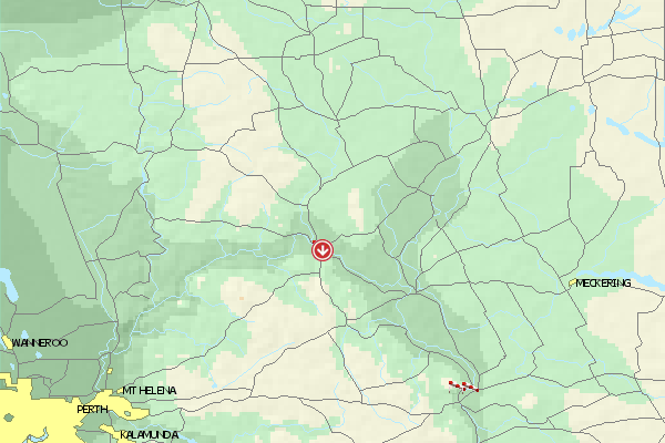
Umgebungskarte
  Fluggebiet  Flugschule  Aktuelle Position | Orte in der Nähe
Toodyay (0 km)
Lloyd Crossing (2 km)
Key Farm (4 km)
Nardee (5 km)
Nardie, Mount (5 km)
West Toodyay (5 km)
Ringa (6 km)
Coondle (8 km)
Dewars Pool (8 km)
Nunyle Hall (9 km)
Nunyle (9 km)
Hoddy Well (9 km)
Nanamoolan (11 km)
Culham (15 km)
Wongamine (16 km)
|
Fluggebiete in der Nähe (Radius: 50 km)
Australien / Ozeanien » Australien » Western Australia
Entfernung:
0 km
Höhenuntersch.:
0
Meter
Ort:
Perth
Streckenflug:
Ja
Startplatz:
mittel
Landeplatz:
mittel
Start Richtungen:
NW flying site on Noodeening Hill. Quite small, but very nice and open site with good thermic conditions. In addition one can land above again above because the landing fields below are sprinkled with trees.
Site Closed
Australien / Ozeanien » Australien » Western Australia
Entfernung:
0 km
Höhenuntersch.:
-69
Meter
Ort:
Toodyay
Streckenflug:
Ja
Startplatz:
mittel
Landeplatz:
leicht
Start Richtungen:
A small flying site with not alot of landing possibilities and alot of powerlines/poles.
Australien / Ozeanien » Australien » Western Australia
Entfernung:
0 km
Höhenuntersch.:
61
Meter
Ort:
Toodyay
Streckenflug:
Ja
Startplatz:
sehr schwer
Landeplatz:
mittel
Start Richtungen:
A pretty high mountain, however in a very bad condition. Crazy possibilities and outlooks, unfortunatly however it can no longer be used because of the very inconsistant ratios. The site has been closed since 01 May 2004 (state June 2004).
Alle Fluggebiete und Flugschulen in der Nähe anzeigen
|