Jasper, 620 Meter


Talort:
Jasper
Höhe Talort:
300 Meter
Höhenunterschied:
320
Meter
Start Richtungen:
Seilbahn:
Nein
Streckenflug:
Nein
Soaring:
Keine Angabe
Windenschlepp:
Nein
Walk and Fly:
Nein
Ski and Fly:
Nein
Drachen:
Keine Angabe
UL:
Keine Angabe
GPS Tal:
Qualität Fluggebiet:
Qualität dieser Seite:
Statistik:
Adoption (User):
-
Zuletzt bearbeitet:
12.01.2006
The mountain located to the north of Jasper can be reached over the Highway number 7, the trip is worthwhile either way the area is also named "Grand Canyon of Arkansas".
Bewertung der Fluggebiets- und der Seitenqualität
Flug
In the earlier years the south eastern cliff was probably flown more often because of the stronger conditions. The long distance record of 42 miles to Blu Eye dates out of the seventies. The problem with Jasper is that the south east-side must compete with Nebo and Mt. magazine.
Besonderheiten und Webcam
| Points of contact and maps are available under www.hang-glide.com |
Download: Google Earth Dateien für Fluggebiet und Flugdaten (IGC, OLC)
Download: Google Earth Dateien (KML-Format), Flugdaten (IGC Format)
Die letzten 3 Flüge
Leider keine OLC Daten vorhanden.
Flugdaten von www.paraglidingforum.com
Leider keine OLC Daten von www.paraglidingforum.com vorhanden.
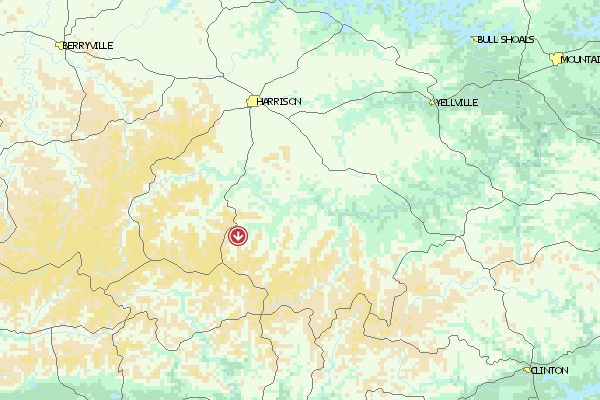
Umgebungskarte
  Fluggebiet  Flugschule  Aktuelle Position |
Alle Fluggebiete und Flugschulen in der Nähe anzeigen