The Range, Toodyay, 100 Meter
          
Talort:
Toodyay
Höhe Talort:
169 Meter
Höhenunterschied:
0
Meter
Start Richtungen:
Seilbahn:
Nein
Streckenflug:
Ja
Soaring:
Keine Angabe
Windenschlepp:
Nein
Walk and Fly:
Nein
Ski and Fly:
Nein
Drachen:
Keine Angabe
UL:
Keine Angabe
Google Maps:
Qualität Fluggebiet:
Qualität dieser Seite:
Statistik:
Adoption (User):
-
Zuletzt bearbeitet:
15.12.2005
Inland flying site, difficult for flying. The wind often comes out of W to WSW.
Bewertung der Fluggebiets- und der Seitenqualität
Flug
Just in the summer, it is easier to fly from the turbulence created by the warm weather. Only suitable for experinced pilots. This site can be landed below or again at the starting point. Never try to land at the mountain behind the starting place, it is too dangerous! Paragliders with alot of experience in these conditions can also start at the southern end in north west-wind, however it depends on the wind conditions being offered at the start being that it is more diffcult. In addition the ground is very rocky.
Besonderheiten und Webcam
| This site is privately owned. Please contact the local Paragliding club: Soarers Hill Club before arriving. Hence, the first pilot must always inform the owner. Both the first and all other pilots pay in addition $2 for the utilisation of the site and should register themselves at the list at the private entrance and read the rules. To fly alone is not permitted here! |
Wissenswertes
Anfahrt:
The local Paragliding Club: Hill Soarers Club will be more than happy to provide you with any information and tipps required for the site near Toodyay, approx 1.5 hours east of Perth. Good park possibilities.
Sonstiges:
In this area is apporx. 1 hour removed from Perth, you will find numerous flight zones with all wind variations in the area suitable for the beginner.
Startplätze
Startplatz:
The Range, Toodyay
Startrichtung:

SW W Schwierigkeit:
mittel
Höhe über NN:
169
|
Landeplätze
Landeplatz:
The Range, Toodyay
Schwierigkeit:
mittel
Höhe über NN:
0
|
Download: Google Earth Dateien für Fluggebiet und Flugdaten (IGC, OLC)
Download: Google Earth Dateien (KML-Format), Flugdaten (IGC Format)
Die letzten 3 Flüge
Leider keine OLC Daten vorhanden.
Flugdaten von www.paraglidingforum.com
Leider keine OLC Daten von www.paraglidingforum.com vorhanden.
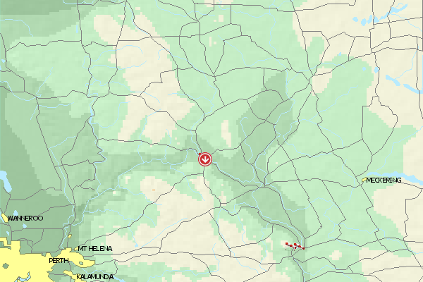
Umgebungskarte
  Fluggebiet  Flugschule  Aktuelle Position | Orte in der Nähe
Toodyay (0 km)
Lloyd Crossing (2 km)
Key Farm (4 km)
Nardee (5 km)
Nardie, Mount (5 km)
West Toodyay (5 km)
Ringa (6 km)
Coondle (8 km)
Dewars Pool (8 km)
Nunyle Hall (9 km)
Nunyle (9 km)
Hoddy Well (9 km)
Nanamoolan (11 km)
Culham (15 km)
Wongamine (16 km)
|
Fluggebiete in der Nähe (Radius: 50 km)
Australien / Ozeanien » Australien » Western Australia
Entfernung:
0 km
Höhenuntersch.:
108
Meter
Ort:
Perth
Streckenflug:
Ja
Startplatz:
schwer
Landeplatz:
leicht
Start Richtungen:
You will find this site exaclty NE between Toodyay and Northam in the Avon Valley. This site is not particularly east to fly from due to the trees and the fast changing thermic conditions. The site is owned by farm owners Bruce and Carolyn, who gladly support the sport.
Site Closed...
Australien / Ozeanien » Australien » Western Australia
Entfernung:
0 km
Höhenuntersch.:
0
Meter
Ort:
Perth
Streckenflug:
Ja
Startplatz:
mittel
Landeplatz:
mittel
Start Richtungen:
NW flying site on Noodeening Hill. Quite small, but very nice and open site with good thermic conditions. In addition one can land above again above because the landing fields below are sprinkled with trees.
Site Closed
Australien / Ozeanien » Australien » Western Australia
Entfernung:
0 km
Höhenuntersch.:
-69
Meter
Ort:
Toodyay
Streckenflug:
Ja
Startplatz:
mittel
Landeplatz:
leicht
Start Richtungen:
A small flying site with not alot of landing possibilities and alot of powerlines/poles.
Alle Fluggebiete und Flugschulen in der Nähe anzeigen
|