Mount Rennie, 205 Meter
          
Talort:
Geraldton
Höhe Talort:
1 Meter
Höhenunterschied:
204
Meter
Start Richtungen:
Seilbahn:
Nein
Streckenflug:
Ja
Soaring:
Keine Angabe
Windenschlepp:
Nein
Walk and Fly:
Nein
Ski and Fly:
Nein
Drachen:
Keine Angabe
UL:
Keine Angabe
Google Maps:
Qualität Fluggebiet:
Qualität dieser Seite:
Statistik:
Adoption (User):
-
Zuletzt bearbeitet:
06.01.2006
Pay attention in the start as a stron wind from the right can emerge from the mountain! Please land near the street, that leads up to the summit. To the right as you see from the start place.
Bewertung der Fluggebiets- und der Seitenqualität
Besonderheiten und Webcam
| Its best to contact the resident club "Cloudbase Paragliding club" and make the first flight with a member that already knows the site. As the land is privately owned it should therefore not be entered without prior be entered without prior arrangement, or it will become blocked to Paragliders. Also the first and the last Paraglider must always inform at the farm house when there is someone there or there is nobody there anymore! |
Wissenswertes
Anfahrt:
To reach Morrell's farm travel from Geraldton approx, 17km NE along Chapman Rd. Then follow the signs.
Sonstiges:
You will find the city of Geraldton approx 400km North of Perth. The wind guarantees all flight directions, both inland and to the coast there. In the summer, very strong wind exists, in winter it rains less than in Perth.
Download: Google Earth Dateien für Fluggebiet und Flugdaten (IGC, OLC)
Download: Google Earth Dateien (KML-Format), Flugdaten (IGC Format)
Die letzten 3 Flüge
Leider keine OLC Daten vorhanden.
Flugdaten von www.paraglidingforum.com
Leider keine OLC Daten von www.paraglidingforum.com vorhanden.
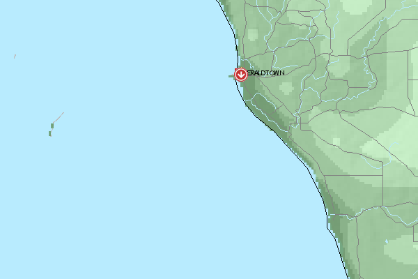
Umgebungskarte
  Fluggebiet  Flugschule  Aktuelle Position | Orte in der Nähe
Geraldton (0 km)
Urakarra (5 km)
Utakarra (5 km)
Waggrakine (6 km)
Geraldton Aerodrome (10 km)
Drummond Cove (11 km)
Narngulu (11 km)
Popes Landing (11 km)
Moonyoonooka (12 km)
Narra Tarra (14 km)
Bootenal (16 km)
Yetna (19 km)
Bringo (23 km)
Greenough (24 km)
Kojarena (25 km)
|
Fluggebiete in der Nähe (Radius: 50 km)
Australien / Ozeanien » Australien » Western Australia
Entfernung:
0 km
Höhenuntersch.:
59
Meter
Ort:
Geraldton
Streckenflug:
Ja
Startplatz:
sehr leicht
Landeplatz:
Keine Angabe
Start Richtungen:
Easily falling away flight zone in the vicinity to the city. Well suited for beginner!
Australien / Ozeanien » Australien » Western Australia
Entfernung:
0 km
Höhenuntersch.:
59
Meter
Ort:
Geraldton
Streckenflug:
Ja
Startplatz:
sehr leicht
Landeplatz:
Keine Angabe
Start Richtungen:
Mottleys Ridge is offers a outlook flight zone over Geraldton. Beginners can enjoy SW until W direction here with visibility of the beautiful city.
Australien / Ozeanien » Australien » Western Australia
Entfernung:
0 km
Höhenuntersch.:
149
Meter
Ort:
Geraldton
Streckenflug:
Nein
Startplatz:
schwer
Landeplatz:
mittel
Start Richtungen:
Excellent coastal flight zone north of the city of Geraldton. You can start into wind directions SW, W, NNW. Over 5 km, cliff edge falling awat to the sea providing on the right day crazy conditions.
Alle Fluggebiete und Flugschulen in der Nähe anzeigen
|