Mottleys Ridge, 65 Meter
          
Talort:
Geraldton
Höhe Talort:
1 Meter
Höhenunterschied:
59
Meter
Start Richtungen:
Seilbahn:
Nein
Streckenflug:
Ja
Soaring:
Keine Angabe
Windenschlepp:
Nein
Walk and Fly:
Nein
Ski and Fly:
Nein
Drachen:
Keine Angabe
UL:
Ja
Google Maps:
Qualität Fluggebiet:
Qualität dieser Seite:
Statistik:
Adoption (User):
-
Zuletzt bearbeitet:
06.01.2006
Mottleys Ridge is offers a outlook flight zone over Geraldton. Beginners can enjoy SW until W direction here with visibility of the beautiful city.
Bewertung der Fluggebiets- und der Seitenqualität
Flug
You can land above again onthe raised area or below at the street.
Schwierigkeit
Attention: the airport is in the vicinity and with the starting gap between the trees.
Wissenswertes
Anfahrt:
From Geraldton take Chapman Road exactly 5km out of the town. As soon as you see two gates directly opposite you go through the right gate to the increase.
Sonstiges:
You will find the city of Geraldton 100km north of Perth. The wind guarantees flight in all directions, both inland and to the coast . In the summer, very strong wind exists, in the winter it rains here less than in Perth.
Startplätze
Startplatz:
Mottleys Ridge
Startrichtung:
Schwierigkeit:
sehr leicht
Höhe über NN:
60
|
Landeplätze
|
Download: Google Earth Dateien für Fluggebiet und Flugdaten (IGC, OLC)
Download: Google Earth Dateien (KML-Format), Flugdaten (IGC Format)
Die letzten 3 Flüge
Leider keine OLC Daten vorhanden.
Flugdaten von www.paraglidingforum.com
Leider keine OLC Daten von www.paraglidingforum.com vorhanden.
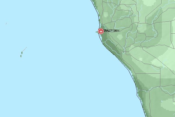
Umgebungskarte
  Fluggebiet  Flugschule  Aktuelle Position | Orte in der Nähe
Geraldton (0 km)
Urakarra (5 km)
Utakarra (5 km)
Waggrakine (6 km)
Geraldton Aerodrome (10 km)
Drummond Cove (11 km)
Narngulu (11 km)
Popes Landing (11 km)
Moonyoonooka (12 km)
Narra Tarra (14 km)
Bootenal (16 km)
Yetna (19 km)
Bringo (23 km)
Greenough (24 km)
Kojarena (25 km)
|
Fluggebiete in der Nähe (Radius: 50 km)
Australien / Ozeanien » Australien » Western Australia
Entfernung:
0 km
Höhenuntersch.:
59
Meter
Ort:
Geraldton
Streckenflug:
Ja
Startplatz:
sehr leicht
Landeplatz:
Keine Angabe
Start Richtungen:
Easily falling away flight zone in the vicinity to the city. Well suited for beginner!
Australien / Ozeanien » Australien » Western Australia
Entfernung:
0 km
Höhenuntersch.:
204
Meter
Ort:
Geraldton
Streckenflug:
Ja
Startplatz:
Keine Angabe
Landeplatz:
Keine Angabe
Start Richtungen:
Pay attention in the start as a stron wind from the right can emerge from the mountain! Please land near the street, that leads up to the summit. To the right as you see from the start place.
Australien / Ozeanien » Australien » Western Australia
Entfernung:
0 km
Höhenuntersch.:
149
Meter
Ort:
Geraldton
Streckenflug:
Nein
Startplatz:
schwer
Landeplatz:
mittel
Start Richtungen:
Excellent coastal flight zone north of the city of Geraldton. You can start into wind directions SW, W, NNW. Over 5 km, cliff edge falling awat to the sea providing on the right day crazy conditions.
Alle Fluggebiete und Flugschulen in der Nähe anzeigen
|