Horrocks Beach, 150 Meter


Talort:
Geraldton
Höhe Talort:
1 Meter
Höhenunterschied:
149
Meter
Start Richtungen:
Seilbahn:
Nein
Streckenflug:
Nein
Soaring:
Keine Angabe
Windenschlepp:
Nein
Walk and Fly:
Nein
Ski and Fly:
Nein
Drachen:
Keine Angabe
UL:
Keine Angabe
Google Maps:
Qualität Fluggebiet:
Qualität dieser Seite:
Statistik:
Adoption (User):
-
Zuletzt bearbeitet:
06.01.2006
Excellent coastal flight zone north of the city of Geraldton. You can start into wind directions SW, W, NNW. Over 5 km, cliff edge falling awat to the sea providing on the right day crazy conditions.
Bewertung der Fluggebiets- und der Seitenqualität
Flug
As is with all coastal flights you must before all have respect for the conditions. Its possible in a weak wind out of a corresponding direction, to have to land not long after starting!
When landing at the beach, it is the bushes that disturb and cause the most concern. If the wind is coming out of SSW, you can come into contact with thermals behind you to the left at the start place.
Wissenswertes
Anfahrt:
From Geraldton drive 40km in the direction of Northampton. Then head left to the town of Horrocks Beach and then continue on left for 20km until the last possible turn before the river. Then turn left and continue on until the reef and park your car.
Sonstiges:
From Perth you will find the city of Geralton north approx. 400km. The wind guarantees flights in all directions, both inland and to the coast there. In the summer, exists very strong wind, in the winter it rains less than Perth for the time of year.
Startplätze
Startplatz:
Horrocks Beach
Startrichtung:

N SW W Schwierigkeit:
schwer
Höhe über NN:
150
|
Landeplätze
Landeplatz:
Horrocks Beach
Schwierigkeit:
mittel
Höhe über NN:
0
|
Download: Google Earth Dateien für Fluggebiet und Flugdaten (IGC, OLC)
Download: Google Earth Dateien (KML-Format), Flugdaten (IGC Format)
Die letzten 3 Flüge
Leider keine OLC Daten vorhanden.
Flugdaten von www.paraglidingforum.com
Leider keine OLC Daten von www.paraglidingforum.com vorhanden.
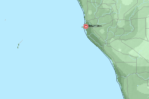
Umgebungskarte
  Fluggebiet  Flugschule  Aktuelle Position | Orte in der Nähe
Geraldton (0 km)
Urakarra (5 km)
Utakarra (5 km)
Waggrakine (6 km)
Geraldton Aerodrome (10 km)
Drummond Cove (11 km)
Narngulu (11 km)
Popes Landing (11 km)
Moonyoonooka (12 km)
Narra Tarra (14 km)
Bootenal (16 km)
Yetna (19 km)
Bringo (23 km)
Greenough (24 km)
Kojarena (25 km)
|
Fluggebiete in der Nähe (Radius: 50 km)
Australien / Ozeanien » Australien » Western Australia
Entfernung:
0 km
Höhenuntersch.:
59
Meter
Ort:
Geraldton
Streckenflug:
Ja
Startplatz:
sehr leicht
Landeplatz:
Keine Angabe
Start Richtungen:
Easily falling away flight zone in the vicinity to the city. Well suited for beginner!
Australien / Ozeanien » Australien » Western Australia
Entfernung:
0 km
Höhenuntersch.:
204
Meter
Ort:
Geraldton
Streckenflug:
Ja
Startplatz:
Keine Angabe
Landeplatz:
Keine Angabe
Start Richtungen:
Pay attention in the start as a stron wind from the right can emerge from the mountain! Please land near the street, that leads up to the summit. To the right as you see from the start place.
Australien / Ozeanien » Australien » Western Australia
Entfernung:
0 km
Höhenuntersch.:
59
Meter
Ort:
Geraldton
Streckenflug:
Ja
Startplatz:
sehr leicht
Landeplatz:
Keine Angabe
Start Richtungen:
Mottleys Ridge is offers a outlook flight zone over Geraldton. Beginners can enjoy SW until W direction here with visibility of the beautiful city.
Alle Fluggebiete und Flugschulen in der Nähe anzeigen